Black Canyon of the Gunnison
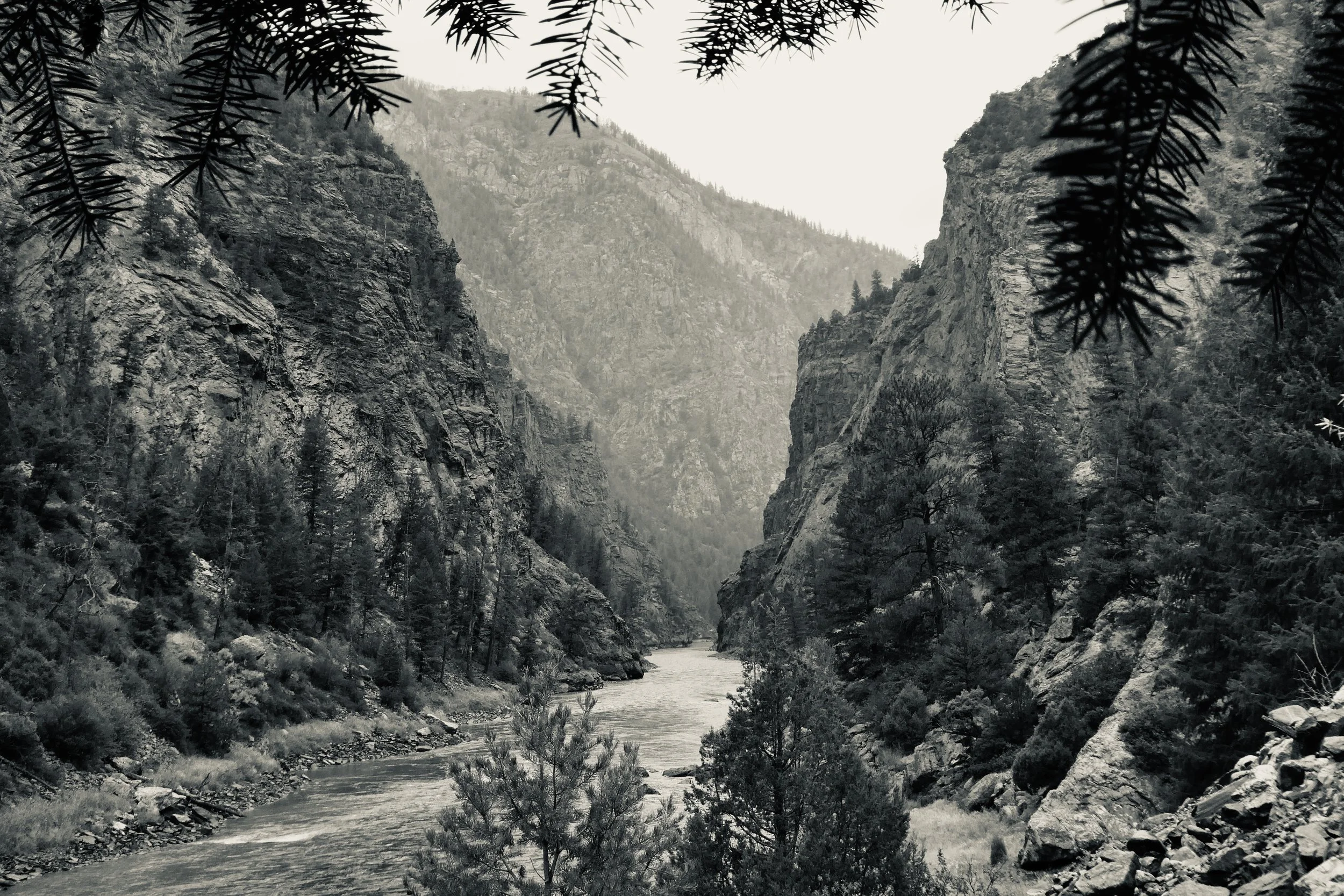
The Base of the Canyon
Black Canyon of the Gunnison National Park
Welcome to Black Canyon of the Gunnison—park number thirty for us - which puts almost halfway to our goal of visiting all 63 national parks.
Located just outside of Montrose, Colorado, Black Canyon of the Gunnison was established as a National Monument in 1933 but didn’t become a national park until 1999. (That was a shocking fact!)
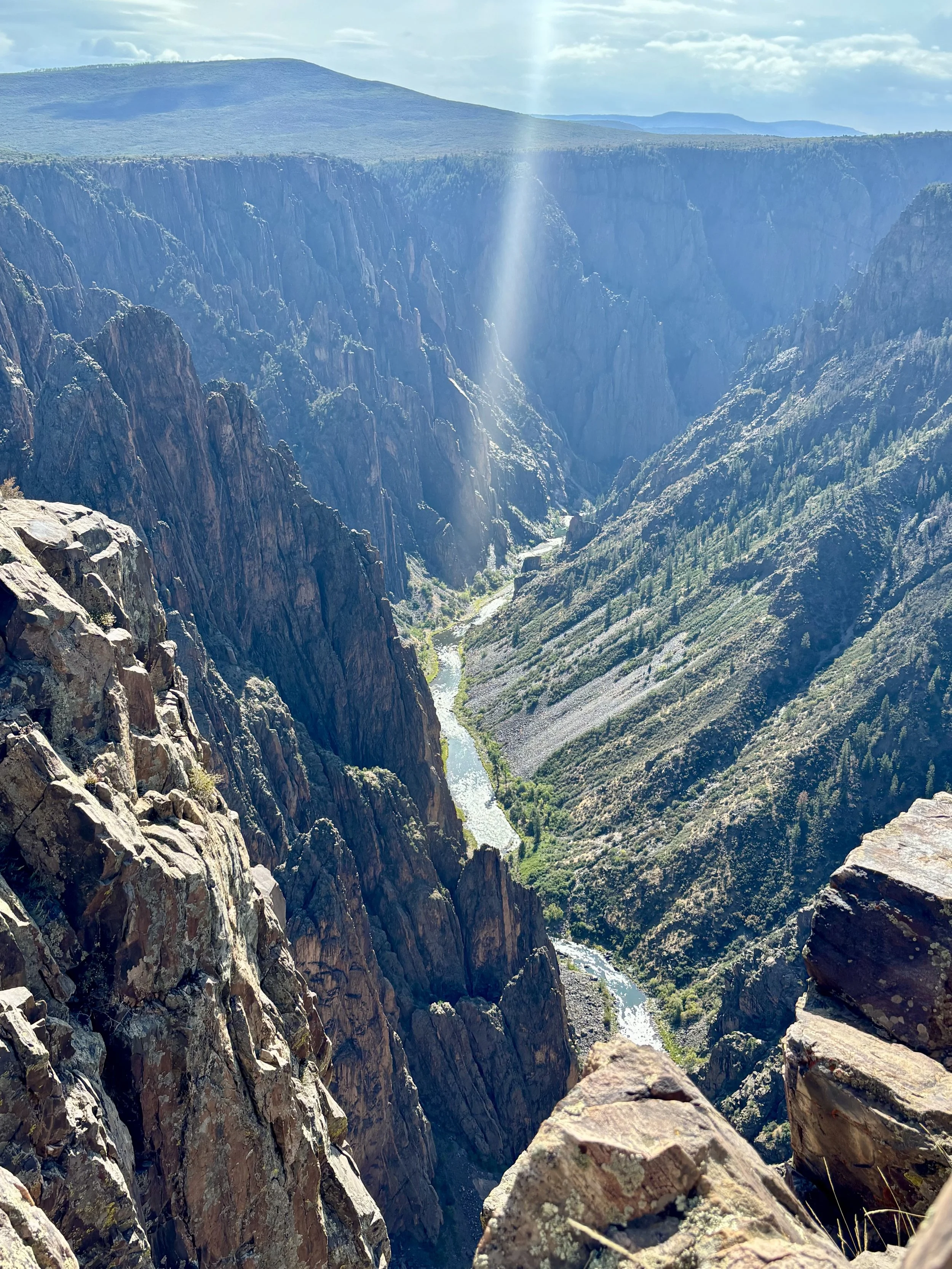
The Gunnison River
The park encompasses about 30,000 acres, with approximately 16,000 acres designated as wilderness. About 14 miles of the Gunnison River runs through the national park. The Gunnison River has been carving its way through the canyon for millions of years, creating some of the steepest cliffs, oldest rocks, and most jagged towers in North America.
Over the millenia, the river has possessed a huge amount of power. The highest recorded flow rate of the river is 18,000 cubic feet per second. At that volume, the water could lift and carry a four-foot boulder down river as if it weighed nothing. While impressive, this pales in comparison to historical estimates. Scientists believe that at the end of the last ice age, as the glaciers were melting, the river moved 100,000 cubic feet of water per second!!! It was this force that began the massive erosion process.
While the park may sound overwhelming due to its size, we found it to be easily visited in a half to a full day. Unless, of course, you are a world-class climber or a highly skilled hiker. In that case, you could spend days exploring all the nooks and crannies of the canyon. Otherwise, your options are more limited. There are three basic areas you can explore….the North Rim, the South Rim, and a small segment of the canyon floor.
As you enter the park via the south entrance, there is an immediate fork in the road. The road on the left leads you to the rim, while the road to the right leads you to the bottom.
The road on the right, the East Portal Road, is the only one in the park that leads down to the bottom of the canyon, and this drive isn’t for the faint of heart. The road has a 16% grade, with numerous switchbacks and steep drop offs, as you descend 1,800 feet toward the river. As intimidating as that sounds, we were disappointed that we couldn’t be some of the lucky ones who got to venture down as the road was closed due to flood damage.
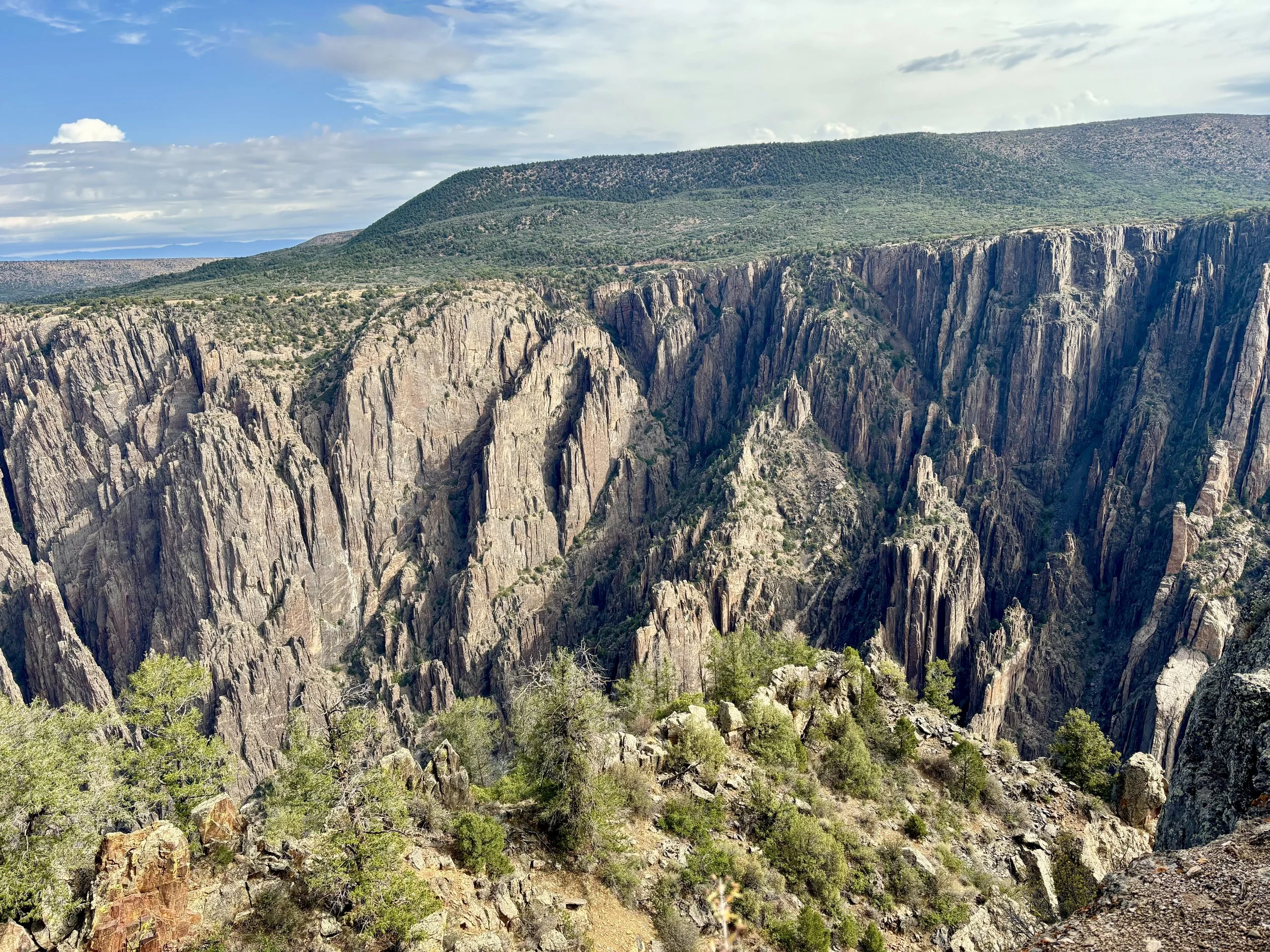
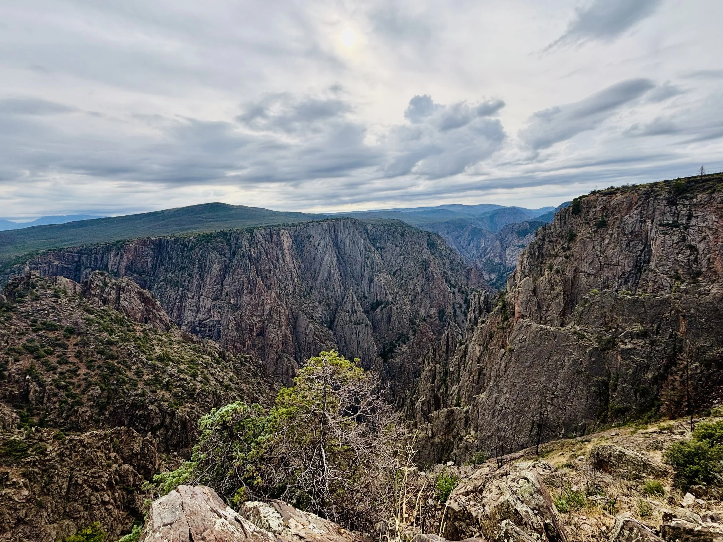
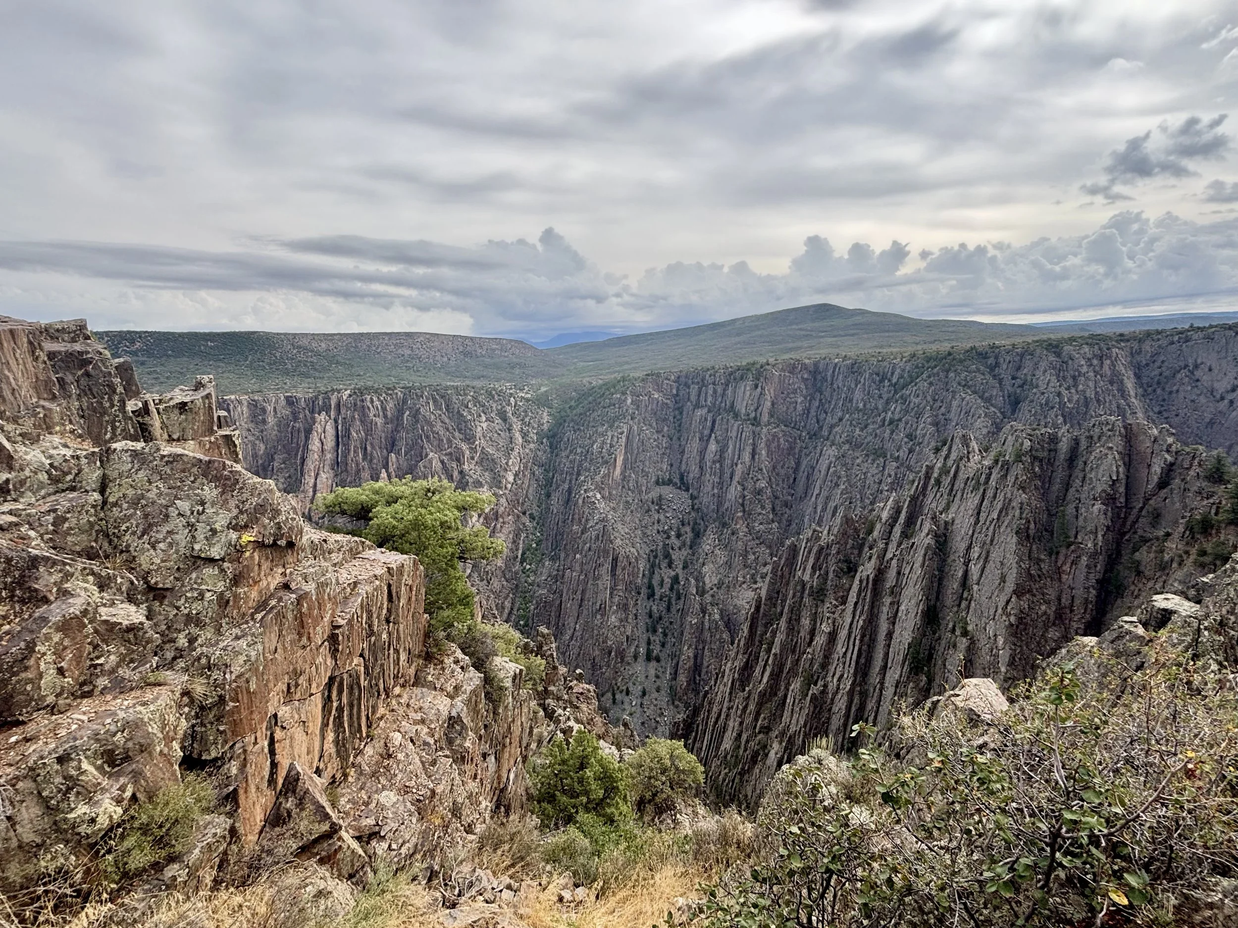
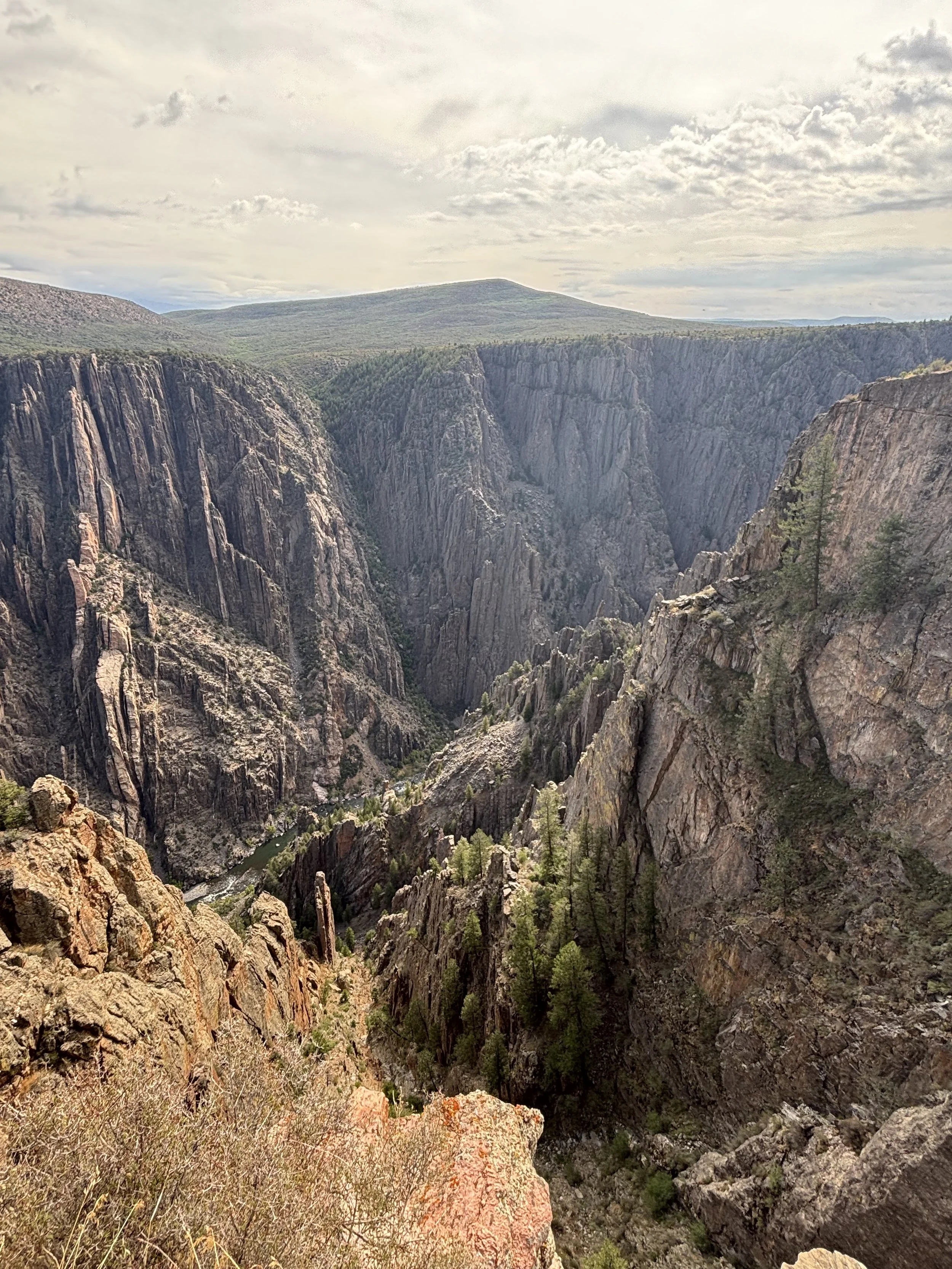
View from South Rim
So, we were forced to limit ourselves to the topside of the canyon. (Note: there is a second entrance to the park that will take you to the North Rim. As there is no bridge anywhere over the canyon, it is about a 2 to 3 hour drive to go from rim to rim. We opted not to.)
Whether you are looking down from the top or up from the bottom, one thing is for sure - you will see a crap ton of rocks!
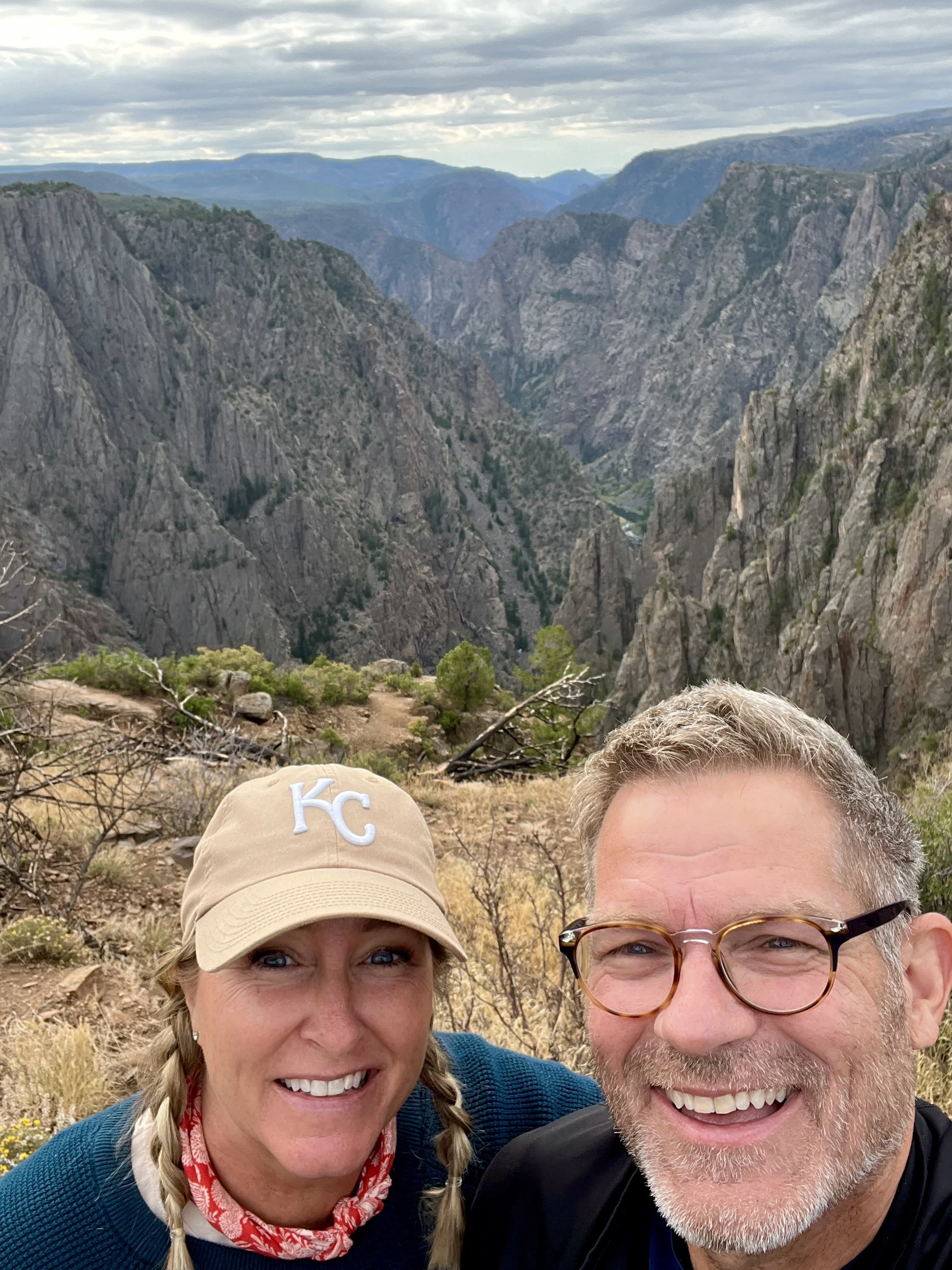
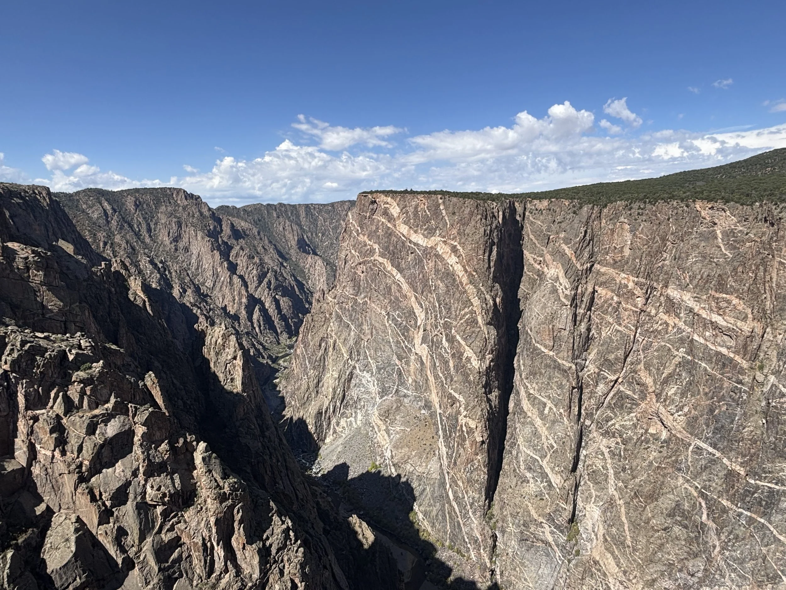
Knowing you are going to see a canyon, and standing on the rim looking into it are two very different things. As we got our first glimpse, we were nearly speechless. It was so stunning it almost didn’t seem real. While it is not as vast as the Grand Canyon, it still boggles your mind as you take in its breadth and depth.
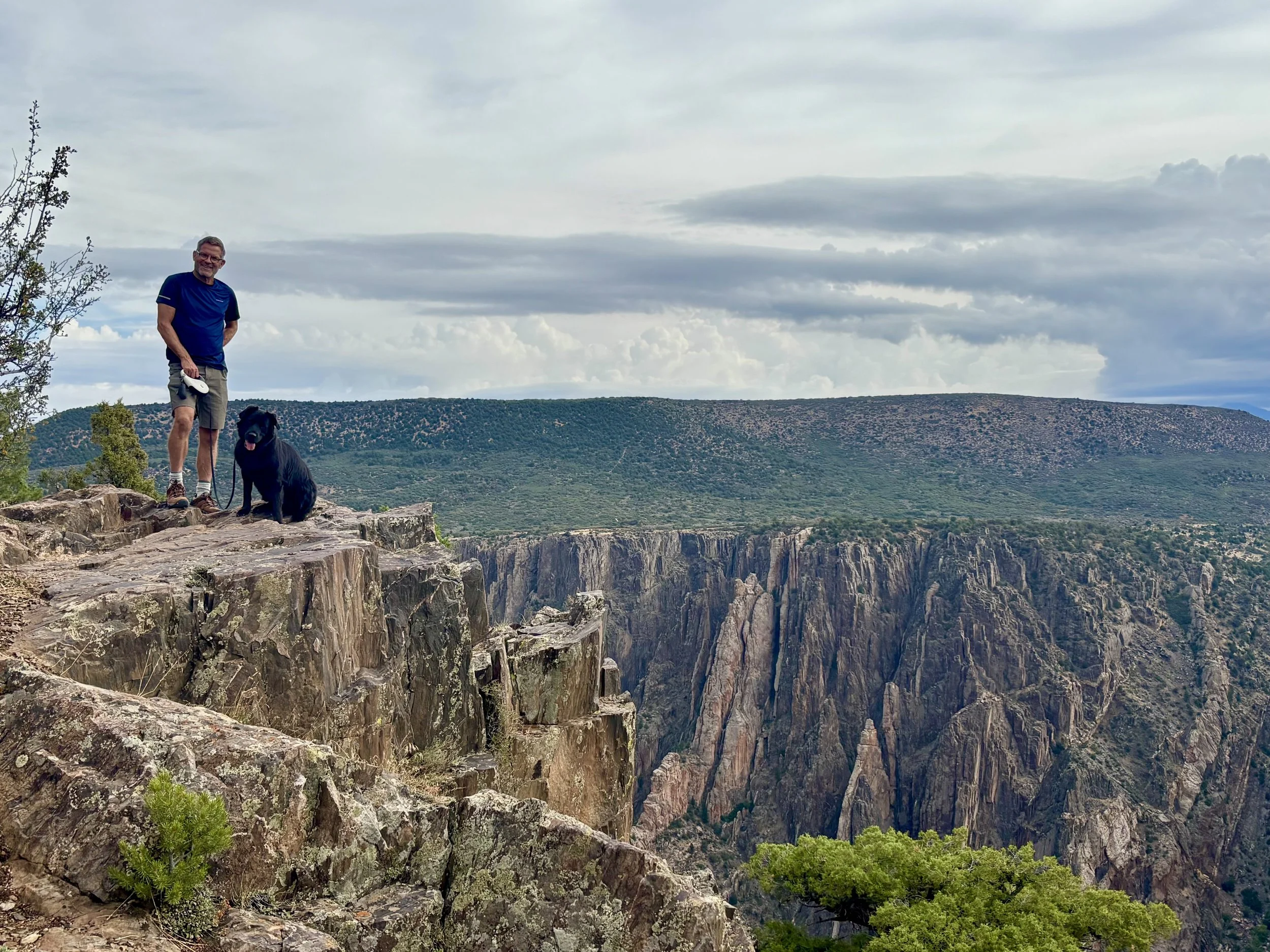
Rim Rock Trail - dogs welcome!
The highlights of the south rim are the Rim Rock Trail and the South Rim scenic drive with its many stunning overlooks. We started out on the Rim Rock Trail, with our trusty, traveling companion, Mack. The trail runs along the rim for a few miles and offers some amazing views on what is a pretty easy hike.
Side note: While it’s widely held that Black Canyon isn’t a very dog-friendly park, we found it quite accommodating for what we were doing that day. Dogs are allowed in parking lots, picnic areas, and on paths leading to all the overlooks. They are also allowed on the Rim Rock Trail and the Chasm View Nature Trail, as long as they are leashed. This was more than enough for us and for Mack!
After our initial hike, we hit the visitor center which is always a great place to start. You can get the lay of the land, and some great information on things to do whether you’re looking for a scenic drive, hikes, animal activity, etc. The Park staff can also keep you informed on closures; park highlights and so much more.
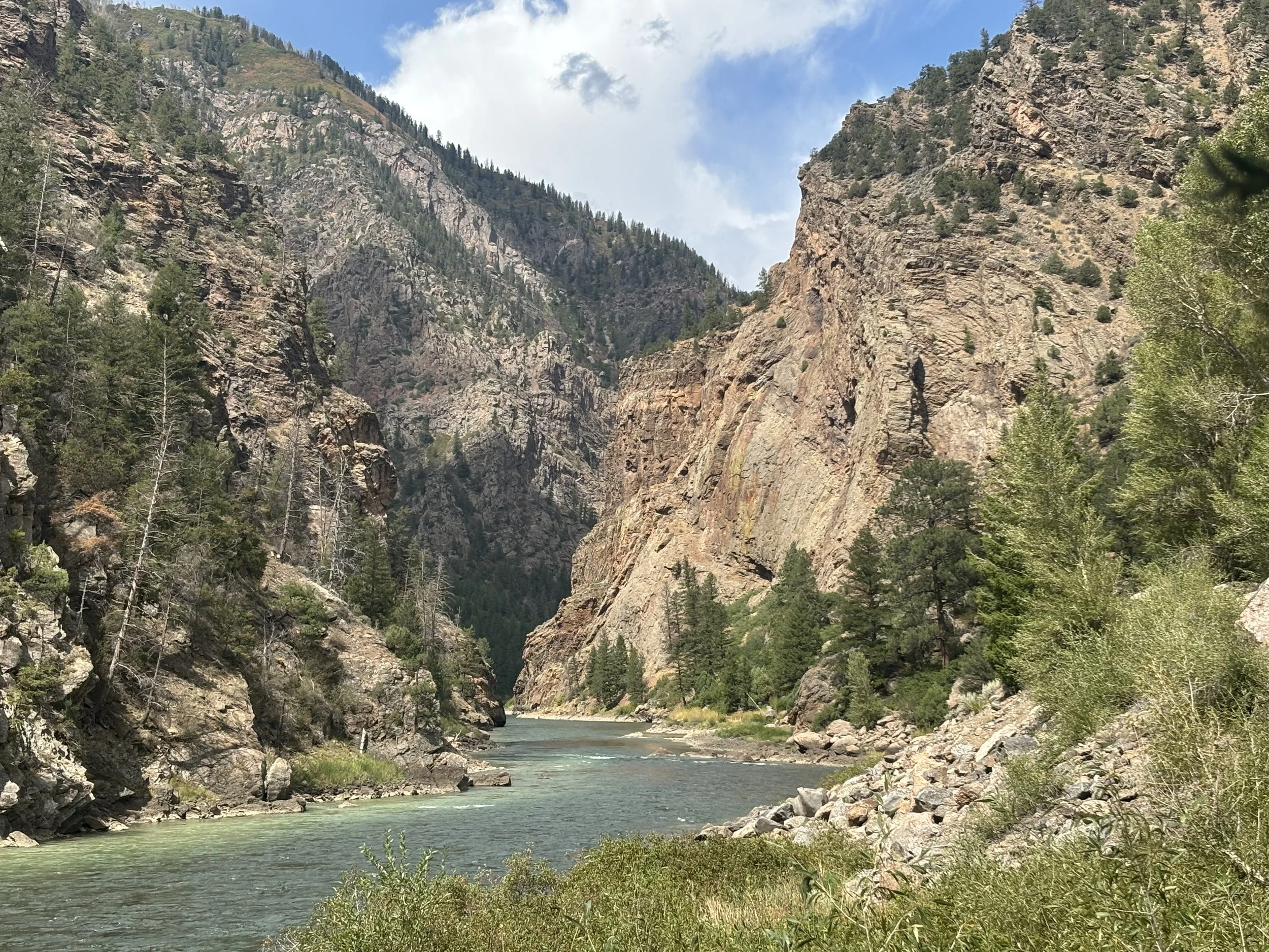
Mesa Creek Trail
As mentioned earlier, the road leading down into the canyon was closed. The ranger told us that it had been closed for months, and it wasn’t likely to be reopened while we were in town. After a little more poking and prodding, the ranger shared with us that there was, in fact, another option. So, after exploring all that the South Rim had to offer—which was quite impressive—we set out on a quest to get to the bottom.
This journey took us to Cimarron which is located about 10 miles further east of the south entrance to the park on Highway 50. As you reach Cimarron, you will see a sign for the Curecanti National Recreation area, and the Cimarron visitor center.
Turn in and follow the road on the left, which will lead you to a campground, hiking trail, rail-yard interpretive exhibit and truss bridge, restrooms, picnic areas, and boating and fishing access. As this isn’t technically part of the national park…Mack was welcome!
We honestly had no idea what we were getting ourselves into, which tends to be a common theme with us. With no backpack, water, or bear spray, we made our way toward the bottom of the canyon. The reward was tremendous.
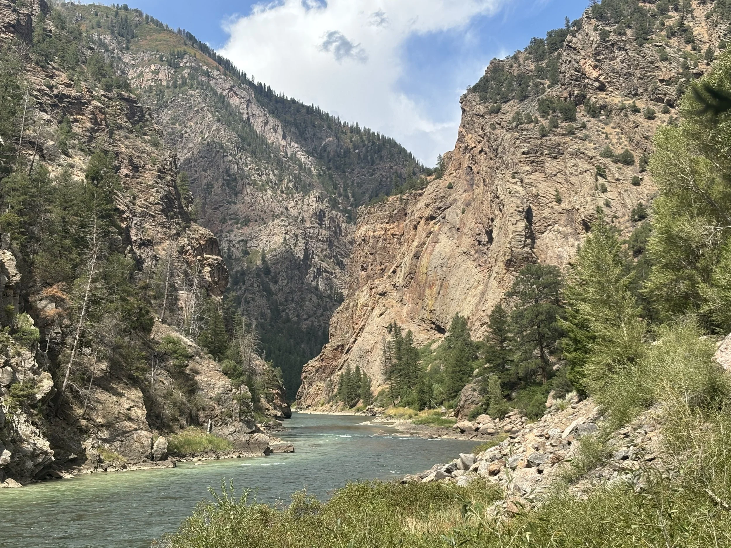
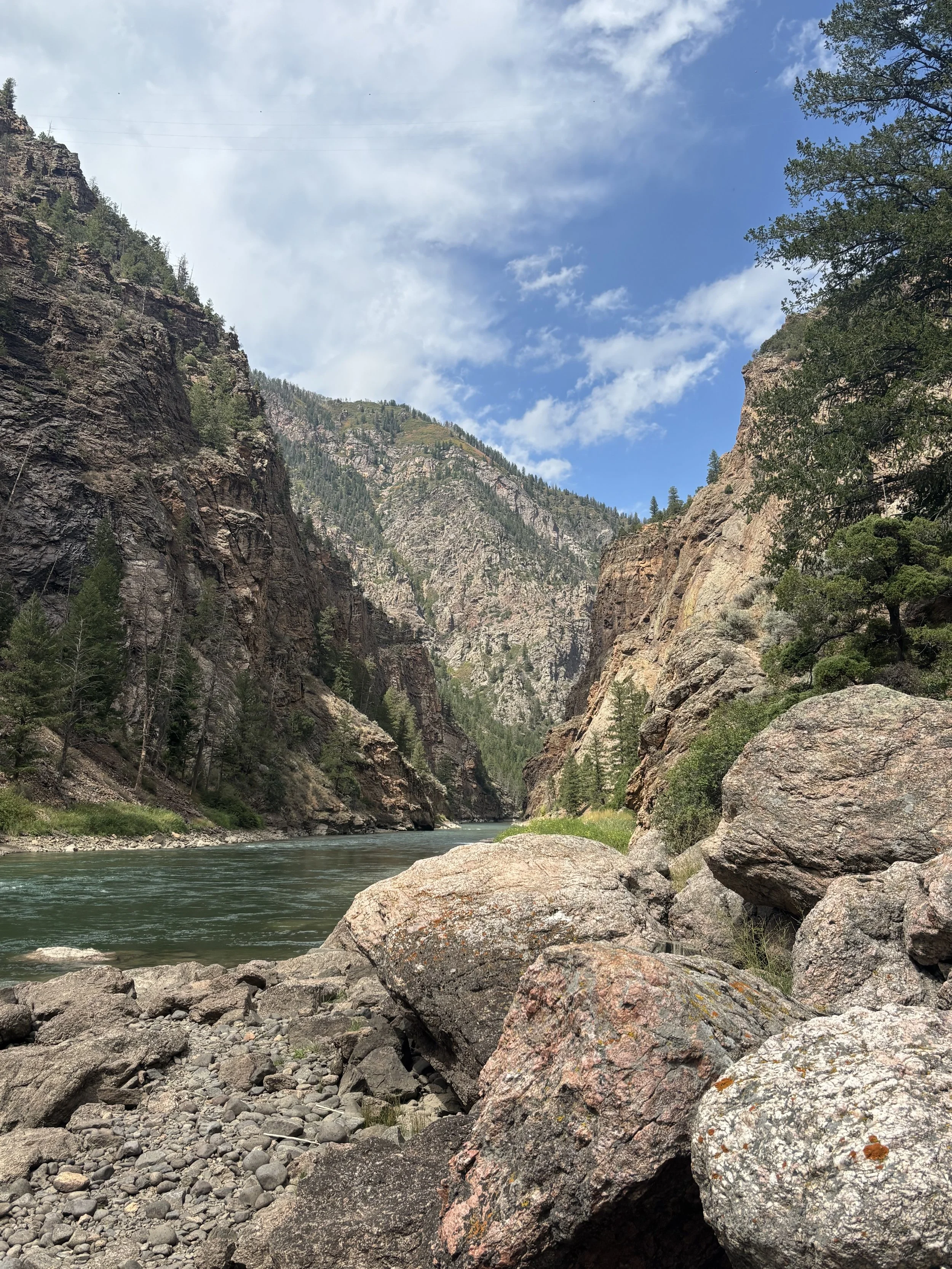
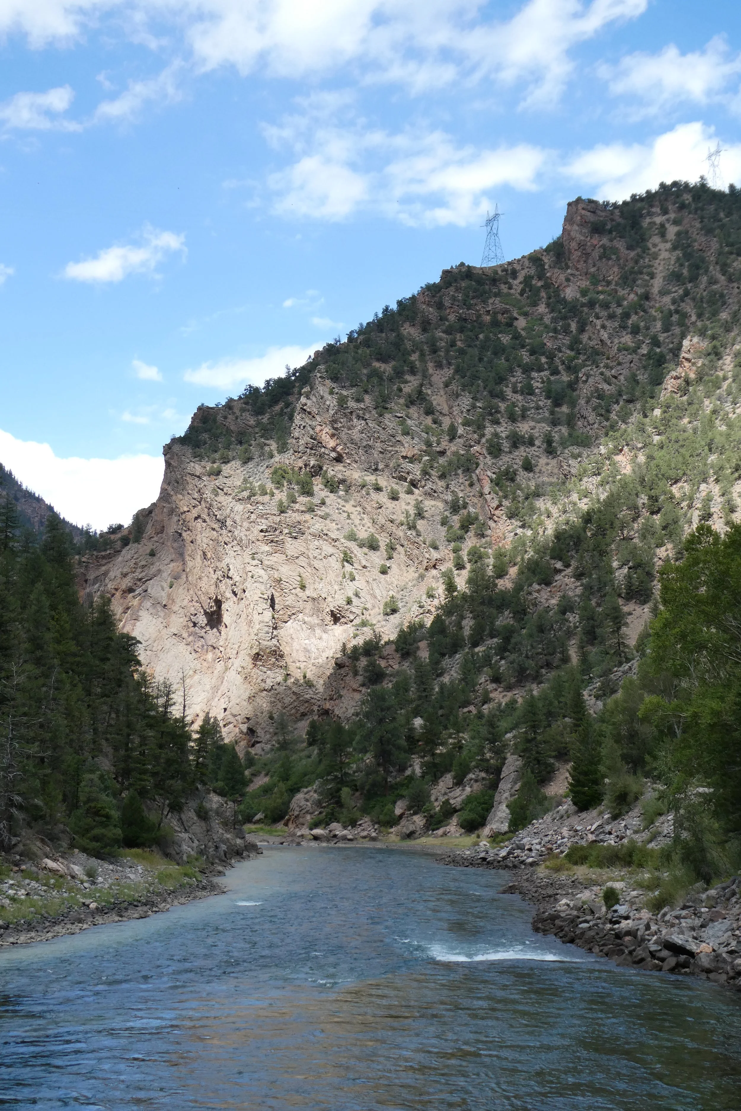
We crossed the truss bridge and meandered along the river’s edge for less than a mile. The sheer walls of the Black Canyon rose thousands of feet above us giving a great feel for what looking up from the bottom is all about.
Mack enjoyed swimming while we watched fishermen hiking back into the canyon to do a little fly fishing. John got a little adventurous and decided to head a bit further up the trail. That little bit of exploring didn’t last long as the rain started rolling in and he had to rush back to join us in taking shelter under a big pine tree.
All in all, it was a magical little hike, and, truly, one of our favorite parts of the day.
FYI:We later learned the trail is called the Mesa Creek Trail. Next time, we will pack a lunch and spend more time enjoying the view.
After a great half-day at the canyon, we headed back to Montrose for a late lunch and decided to make the journey to the Million Dollar Highway.
Things to Do Nearby:
Ouray and the Million Dollar Highway
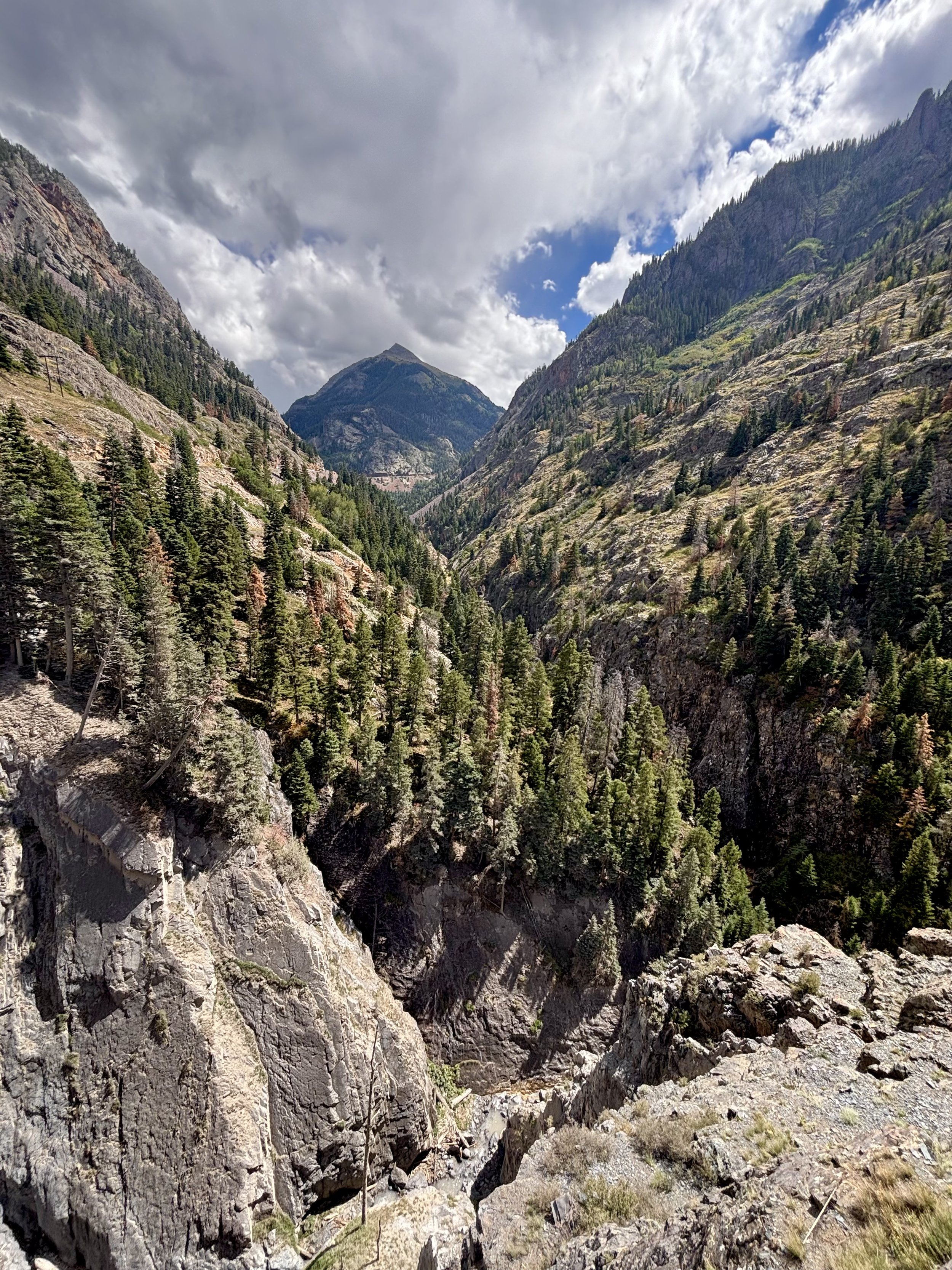
San Juan Mountains as seen from the Million Dollar Highway
The Million Dollar Highway, also known as U.S. Route 550, is a scenic mountain highway that winds through the heart of the San Juan Mountains. This is a MUST!
We’ve been to this area many times, but we couldn’t remember whether we had ever driven the highway. We quickly discovered that we had not—and we’re so glad we finally did!
Leaving Ouray, you’ll encounter stunning views of towering peaks, jaw-dropping deep gorges, and beautiful alpine meadows. However, for those of you who may be less adventurous, you’ll want to prepare yourself! The road is narrow, with hairpin turns and steep cliffs. Some turns have speed limits as low as 10 miles per hour. Needless to say, this drive is not for the faint of heart!
Allow yourself about two hours for the round trip from Ouray to Silverton and back. And ladies, you can bookend the drive with some shopping in both Ouray and Silverton!
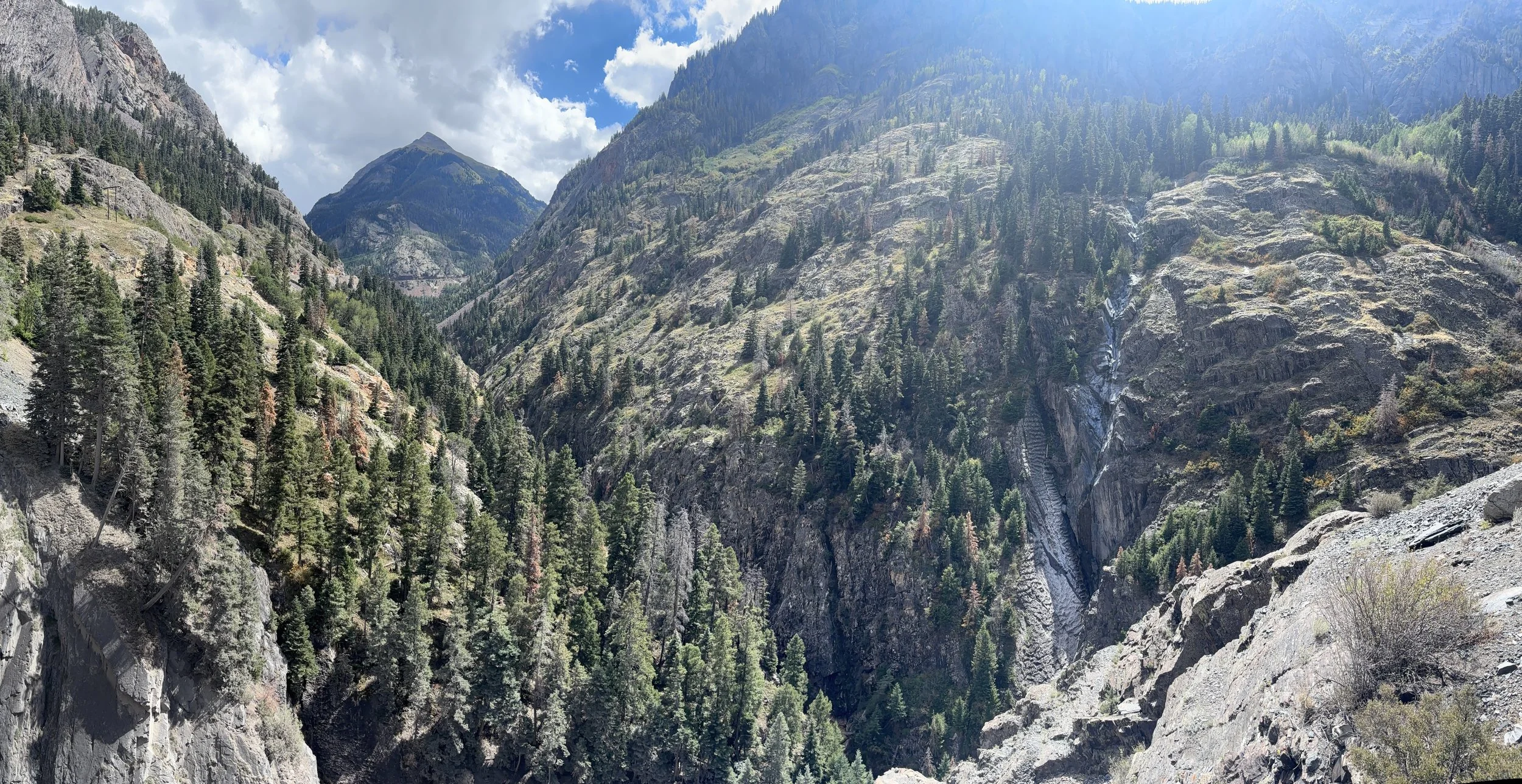
Scenic pull off area as you begin the highway.
Telluride
Telluride near the Bridal Falls Trail
Telluride
Telluride is one of the few towns in America that has truly captured our hearts. It’s one of those places where we always say, “We could live here.” (Not that we could afford it!!)
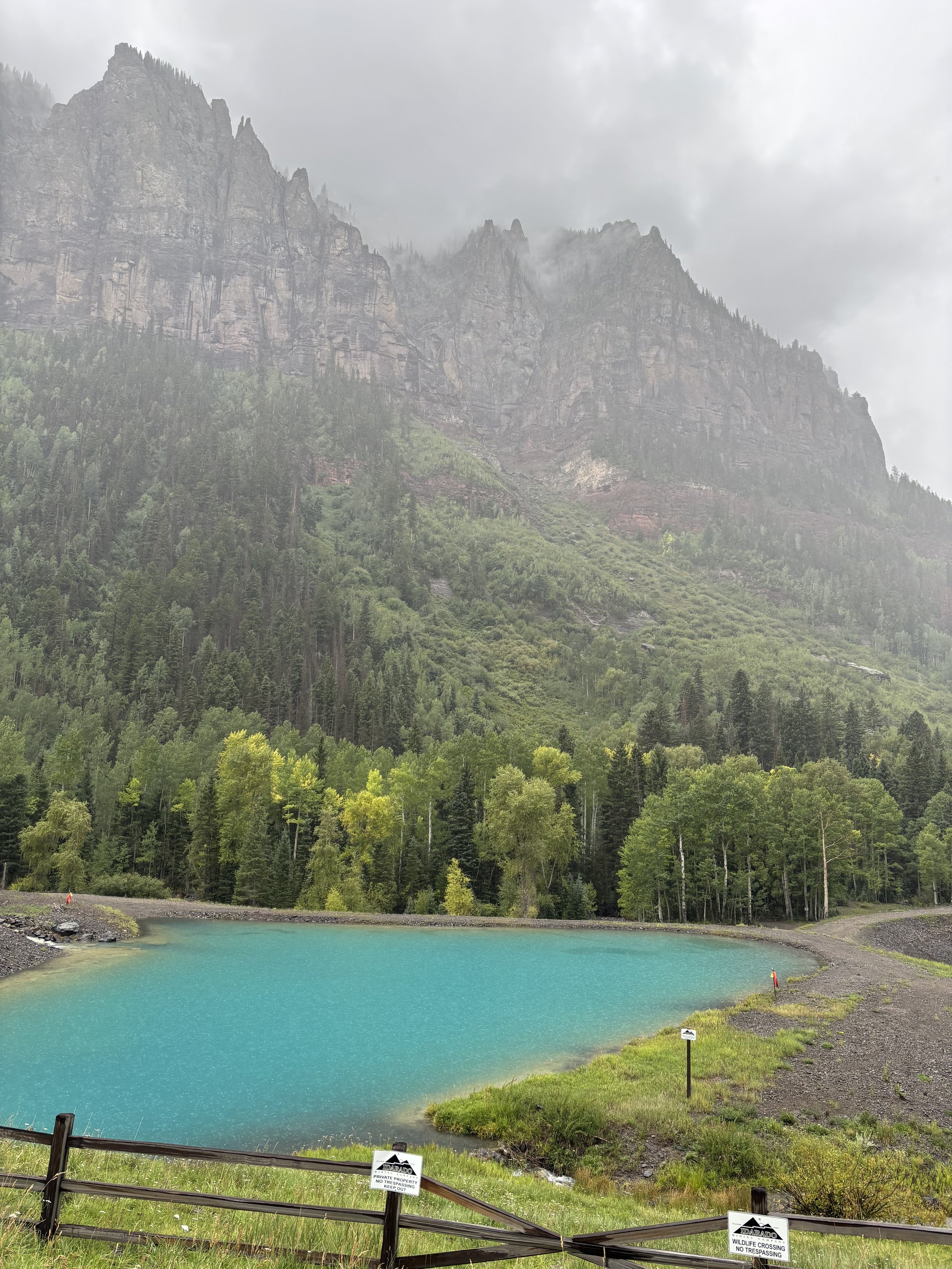
Telluride sits in a spectacular box canyon, surrounded by towering mountains and cliffs, with Bridal Veil Falls cascading from the head of the canyon. Unfortunately, there was no hiking on this trip because of the rain, but Telluride is home to some of the most amazing hikes in and around the area.
And Then There’s the Apple Fritter…
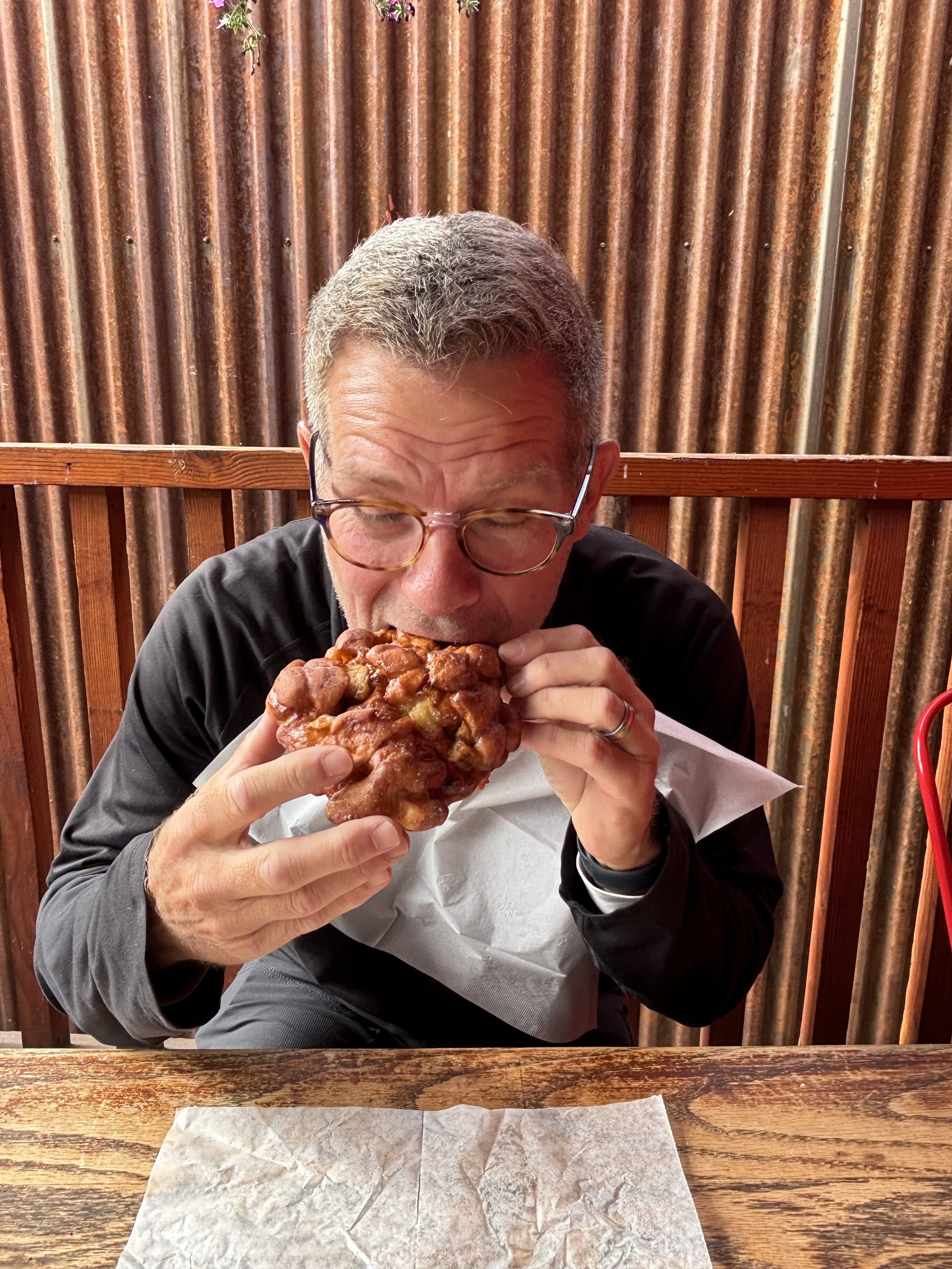
For those of you who know John well, you know he has a sweet tooth—particularly when it comes to anything CHOCOLATE! So, naturally, you can imagine our surprise when an apple fritter became the star of one of our favorite Telluride stories.
In the summer of 2021, we (John, Blake, and Christina) set out on a summer vacation through Colorado, ending in Moab, Utah. We spent a couple of days in Telluride, where we stumbled upon the famous bakery, Baked in Telluride.
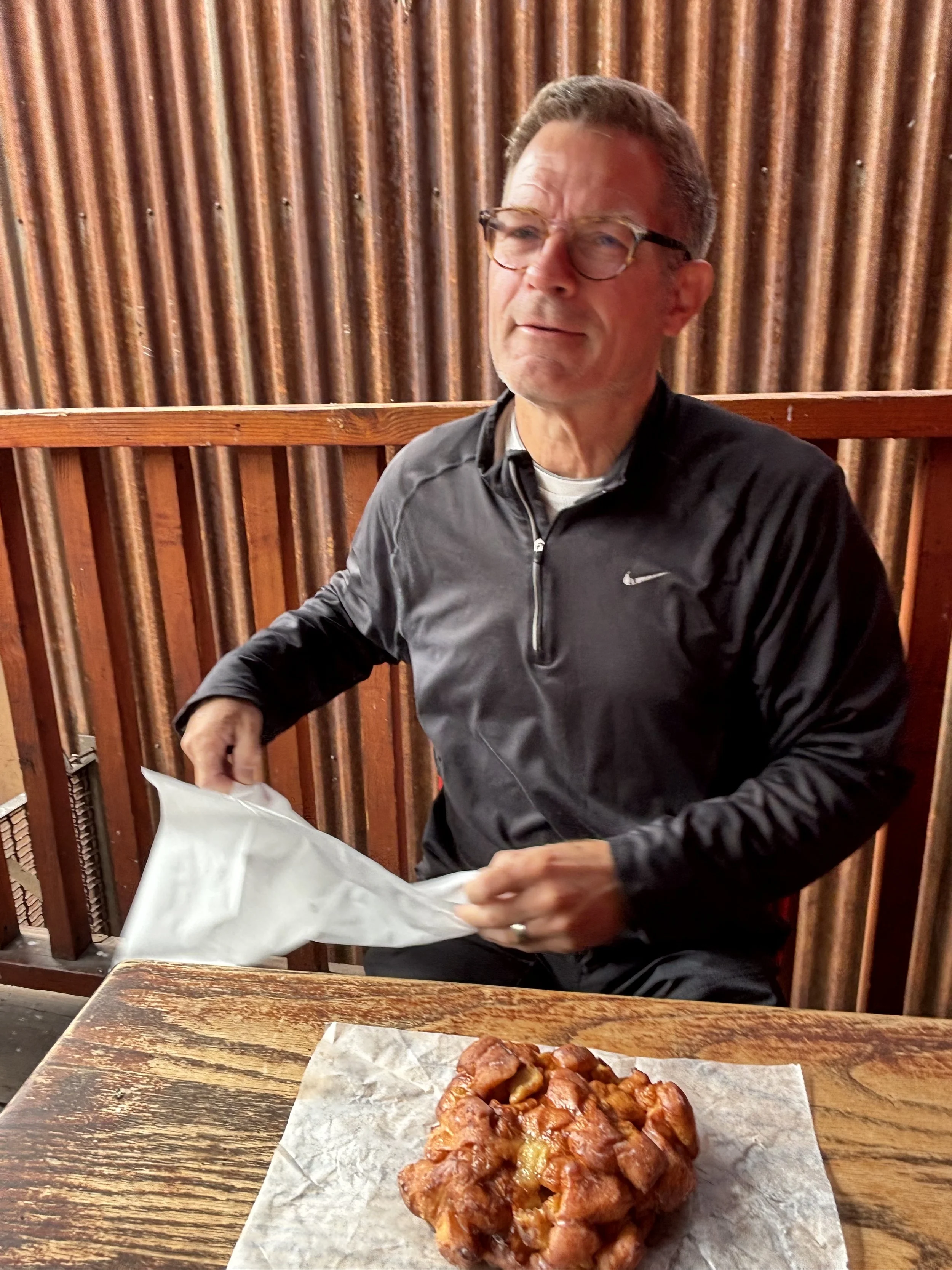
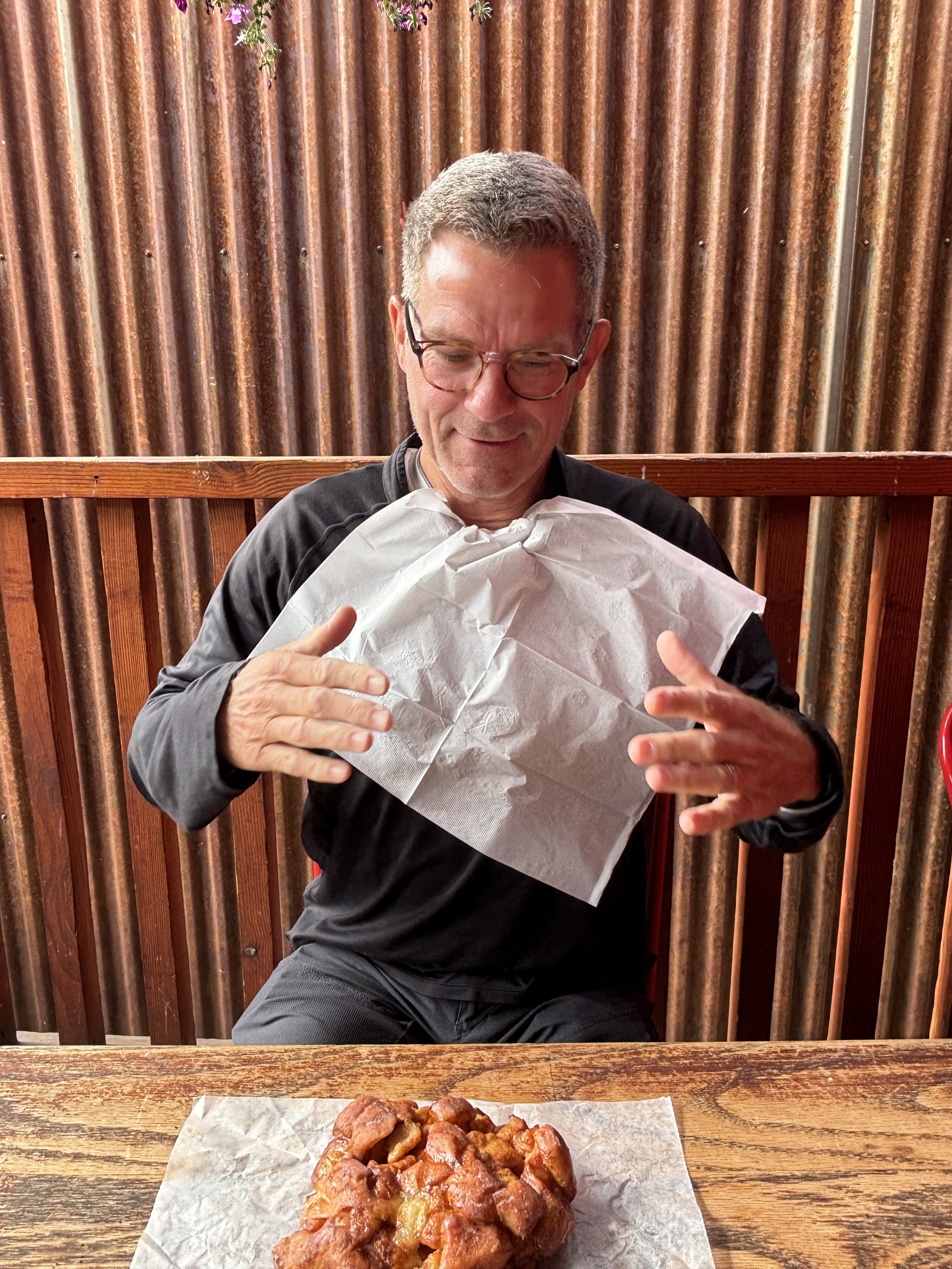
As soon as you walk through the bakery doors, you’re surrounded by the most amazing sweet and savory smells. We carefully perused all the tempting treats and made our selections. John, being John, chose something chocolate, of course—but to our surprise, he also chose an apple fritter.
Little did we know that this apple fritter would become a story we’d still be telling years later.
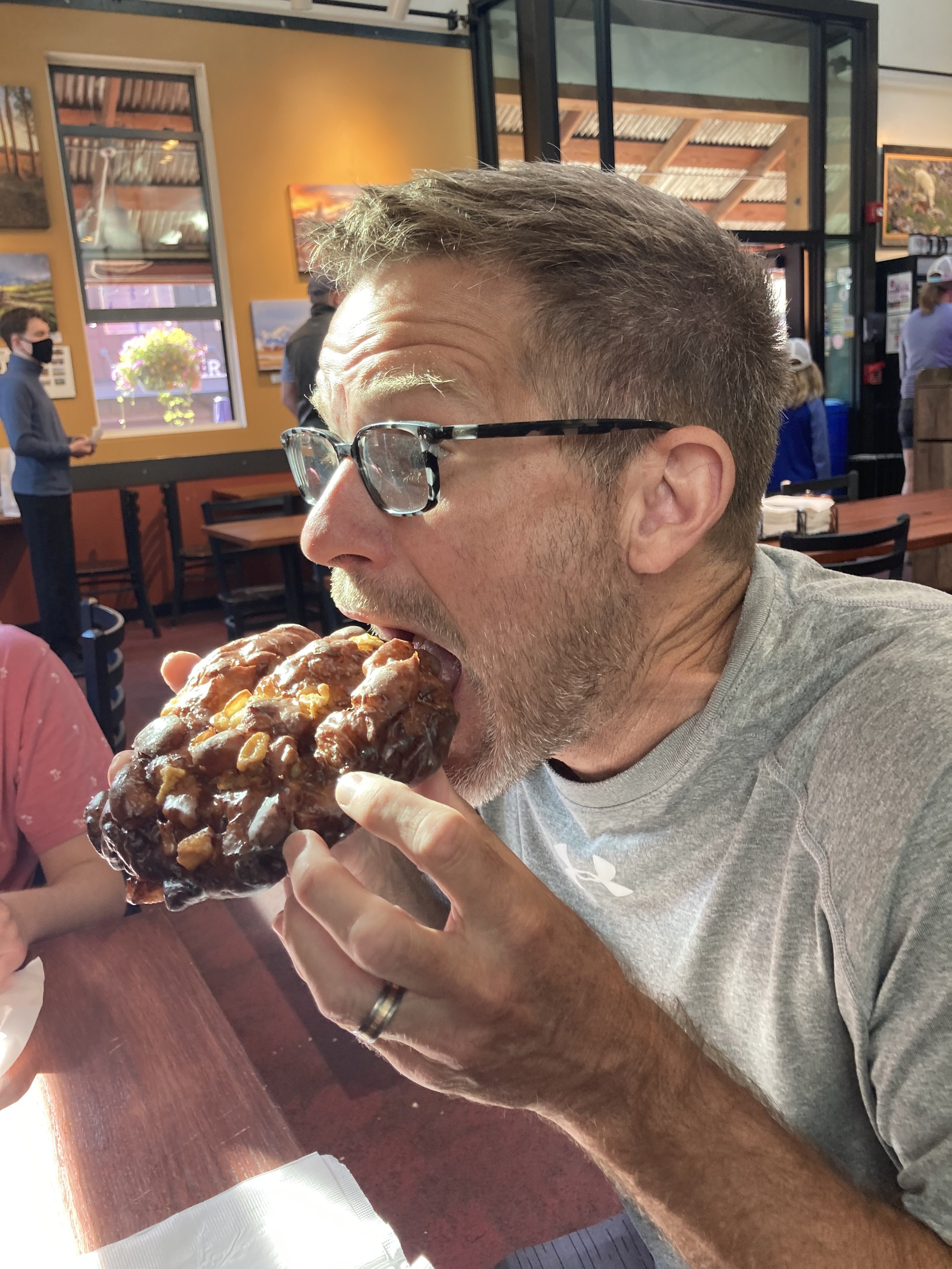
We sat in the bakery and enjoyed our delicious purchases. Given that he had already eaten a chocolate pastry, John wasn’t able to finish the apple fritter in one sitting. He carefully wrapped it in a napkin and tucked it in his backpack for safekeeping. Throughout the next couple of days, we’d catch him pulling it out to take another bite. It didn’t seem to matter whether we were in the car, on a mountaintop, or getting ready for bed, out it would come. It became our running joke throughout the entire vacation.
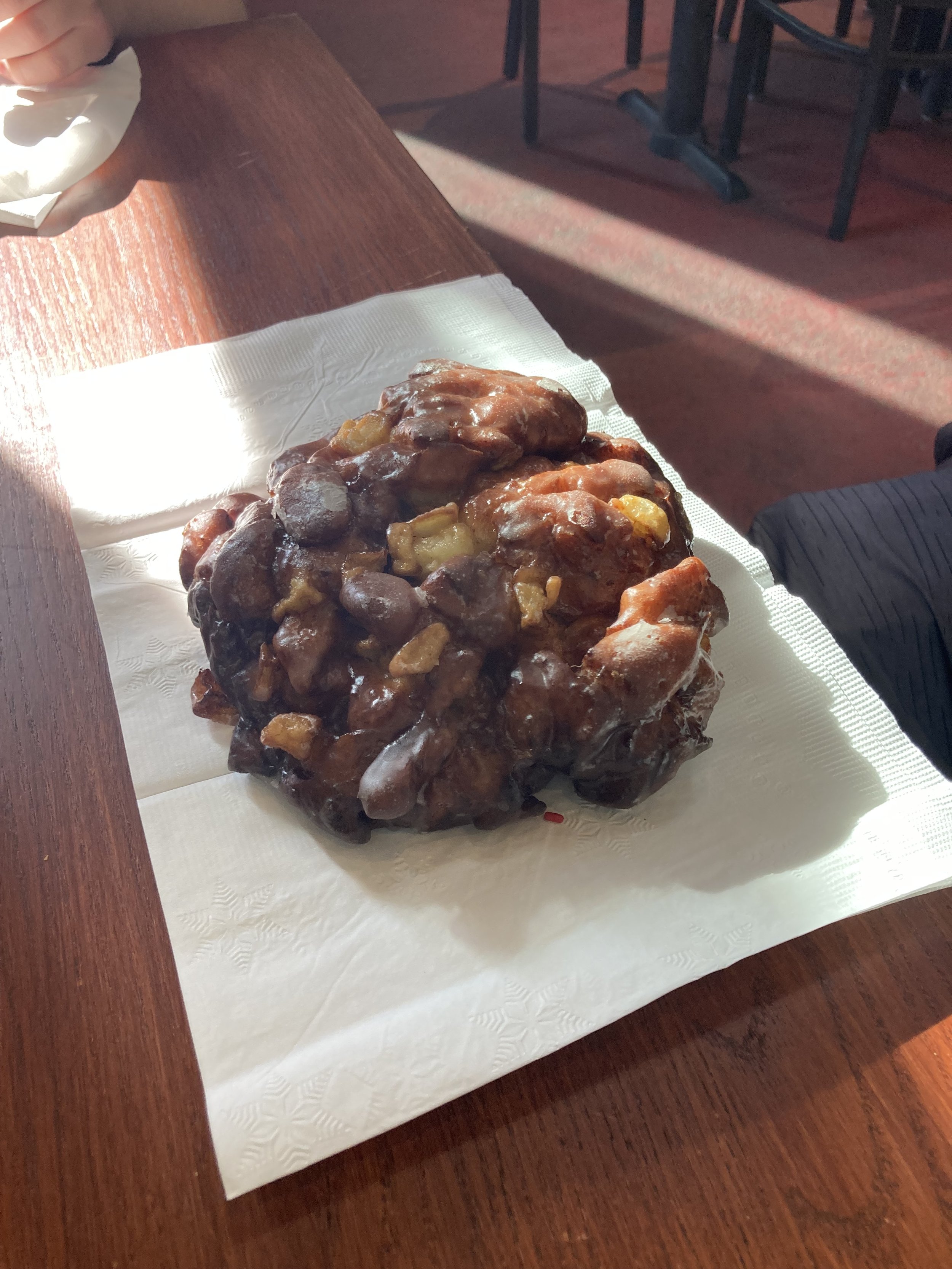
So, you can imagine his excitement when we knew we were heading back to Telluride. Our first stop, of course, was Baked in Telluride for an apple fritter encore. Apple fritter 2.0 did not disappoint! It was a delicious as John remembered. There was just one problem. We immediately noticed that it was considerably smaller than we remembered it being.
Apparently, this fritter was not destined for another road trip.
It didn’t even make it out of the bakery! 😂